


 By Staff
June 19th, 2019
BURLINGTON, ON
The latest information provided by the International Lake Ontario – St. Lawrence River Board (ILOSLRB) confirms a mean daily water level of 75.91 m (249.05 ft) as of June 17th, 2019.
The latest water level has been fairly steady and has remained within 1 cm of the current value over the previous two weeks. The lake level remains approximately 85 cm (33.5 in) above average and 3 cm (1.2 in.) above the record DAILY peak level of 75.88 m (248.95 ft) recorded in late-May 2017.
Lake Ontario’s outflows were increased and are near record highs as efforts continue to try to lower the level of Lake Ontario and provide relief to shoreline interests, while also considering the effects of higher flows on interests in the St. Lawrence River.
Lake Ontario levels are expected to slowly decline in the coming days, with the rate of decline depending on rainfall. Notwithstanding, water levels will remain elevated for the next several weeks and into the summer months.
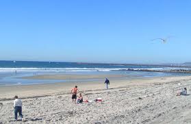
High water covers all of this beach.
All shoreline areas should be considered dangerous during this time. Localized flooding combined with the potential for waves to overtop breakwalls and other shoreline structures continue to make these locations extremely dangerous. Conservation Halton is asking all residents to exercise caution around Lake Ontario shoreline areas and to alert children in your care of these imminent dangers.
The Beachway is closed to the public.
This Flood Watch – Lake Ontario Shoreline message will remain in effect until July 3rd. Conservation Halton will continue to monitor Lake Ontario wind conditions and lake levels closely and will either terminate this message or issue further updates as necessary.