July 22nd, 2024
BURLINGTON, ON
A reader asked just how many devices does the Region have to measure the rainfall and how does the data collection come together.
Conservation Halton (CH) has access to forty-four rain gauges, twenty-three streamflow gauges, three climate stations, as well as our four major flood control dams. Each of these stations has a datalogger that senses a variable (water level, precipitation, wind speed, etc.) that then sends the data to our data acquisition and storage platform through a cell modem, or other telemetry (broadband, fibre-optic networks..
The system polls these stations every 15 minutes; they also have access to all the stations in real-time through their system (on-demand access).
All the data is visible for our Flood Forecasting and Operations (FF&O) staff at any time.
There are three (3) Flood Duty Officers, who are on rotation 24/7 (Tuesday to Tuesday).
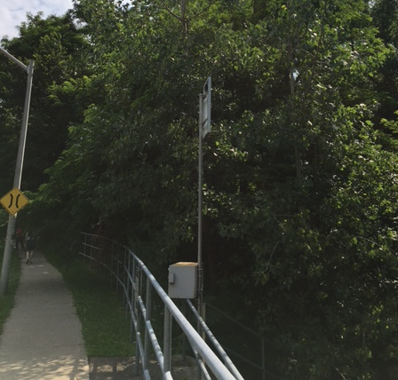
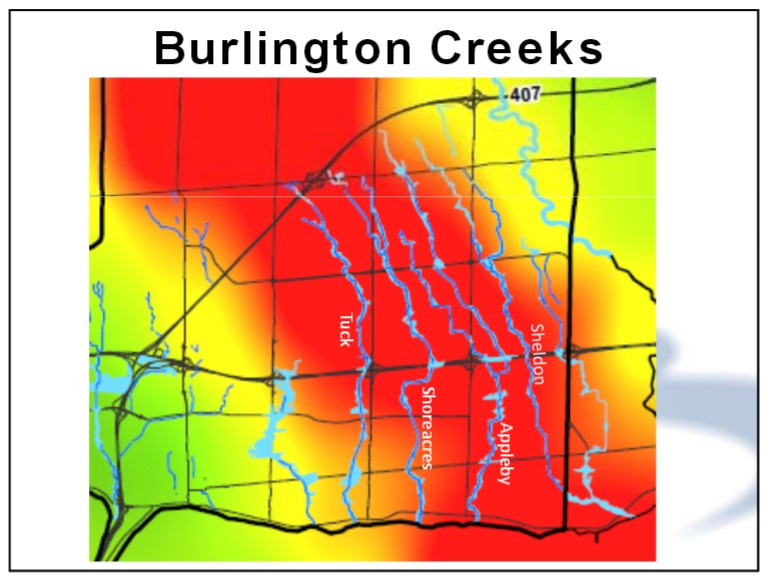
The photograph is of the Shoreacres Creek as it flows under Spruce Ave.
In 2014 there was one, just one rainfall metering devices and the telemetry for that one wasn’t properly hooked up. Conservation Halton took the required remedial action.


If only Premier Ford would support agencies and initiatives to mitigate flooding. He has systematically disabled the Conservation Authorities and others. It is important to note however that only 3% of flooding is caused by riverine sources. This compares to 97% urban flooding such as the blocked catch basins that caused issues at Cavendish and Upper Middle Road (again after the first experience of the 2014 flood). Flooding is caused by the weakest link in the system which is why current thinking is to incorporate natural features, greenspace as flood mitigation to offer margin of error for climate change.
The Millcroft Golf Course was engineered to mitigate flooding for the downstream neighbourhoods. Noor Javed of the Toronto Star said it best on July 16, “It’s days like today that we can’t forget that development decisions upstream impact flooding downstream” The City is fighting to protect this stormwater protection feature including its series of stormwater ponds but the Province has so far not responded to their requests. Natalie Pierre and Effie Triantafilopoulos are important connections to have our City’s needs heard. Please contact them.
Looks like a do not buy a home here zone. Measuring something does not fix the underlying problem, and will not prevent a recurrence. What are the structural fixes on the table? Have they all been identified. How many swails have been covered? That would be useful.
I received an e-mail yesterday from my broker regarding our home insurance, flooding of any kind and hailstorm damage will be separated from the main policy and the deductibles for both have gone from $1000 to $2000. Our house is downtown not on a flood plain.