


 By Staff
May 21st, 2025
BURLINGTON, ON
Conservation Halton advises that Environment Canada and the Ministry of Natural Resources (MNR) Surface Water Monitoring Centre (SWMC) are currently forecasting 30-50 mm of rain over the next few days, beginning late Wednesday morning and continuing through Friday.
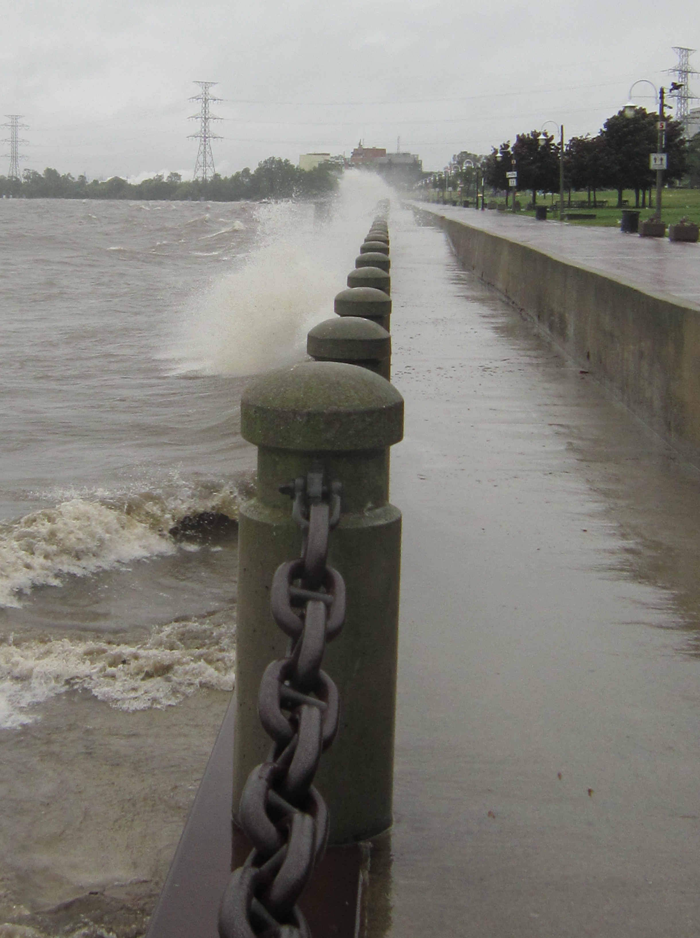
Don’t expect to see waves quite this high – unless those easterly wins pick up
Elevated water levels in rivers and streams within our jurisdiction can be expected. In addition, although the current Lake Ontario water level is near the long-term average for this time of year, strong easterly winds with gusts up to 50 km/h may produce waves up to 1.5 m along shoreline areas that could exceed established flood thresholds.
Widespread flooding is not anticipated, however, fast flowing water and flooding of low-lying areas, natural floodplains, and areas with poor drainage may be expected.
Conservation Halton is asking all residents and children to keep a safe distance from all watercourses, Lake Ontario shoreline areas, and structures such as bridges, culverts, breakwalls, and dams. Elevated water levels, fast flowing water, and cold water temperatures combined with slippery conditions along stream banks and the potential for waves to overtop breakwalls continue to make these locations extremely dangerous. Please alert children in your care of these imminent dangers.
Conservation Halton will continue to monitor stream, lake, and weather conditions and will issue an update to this Watershed Conditions Statement – Flood Outlook & Lake Ontario Shoreline message as conditions warrant.
This Watershed Conditions Statement – Flood Outlook & Lake Ontario Shoreline will be in effect through Saturday May 24, 2025.

Discover more from Burlington Gazette - Local News, Politics, Community
Subscribe to get the latest posts sent to your email.
