


 By Staff
April 12th, 2018
BURLINGTON, ON
The weather forecast for today will suggest real Spring weather is close by.
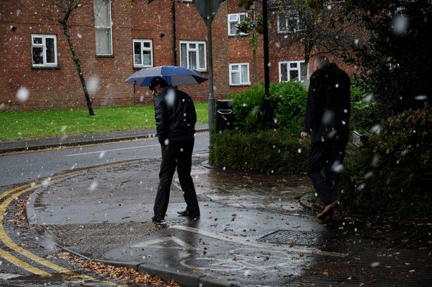
… bringing precipitation and the potential for significant freezing rain.
The Conservation Halton advises that multiple low pressure systems will be moving through the region this week and into the weekend, bringing precipitation and the potential for significant freezing rain. The forecast is for 10-15mm of precipitation tomorrow, 5-10mm of precipitation Friday, and possible ice accumulations of 20mm on Saturday overnight into Sunday, when the freezing rain will change back to rain, with total accumulations in excess of 50mm possible.
So much for Spring being at hand.
The precipitation will result in increased flows and water levels in a majority of our creeks. Flow and water level increases are expected to begin early tomorrow and continue throughout the weekend into Monday, particularly in our larger watercourse systems (Grindstone, Sixteen Mile and Bronte Creeks).
Widespread flooding is not anticipated. Our reservoirs are still in range of our seasonal holding levels and have storage capacity available. However, fast flowing water and flooding of low lying areas and natural floodplains may be expected. Municipalities, emergency services and individual landowners in flood-prone areas should be on alert.
Conservation Halton is asking all residents and children to keep a safe distance from all watercourses and structures such as bridges, culverts and dams. Elevated water levels, fast flowing water, and slippery conditions along stream banks continue to make these locations extremely dangerous. Please alert children in your care of these imminent dangers.
This Flood Outlook Statement will be in effect through Monday April 16th, 2018.

Discover more from Burlington Gazette - Local News, Politics, Community
Subscribe to get the latest posts sent to your email.
